top of page

GIS Portfolio
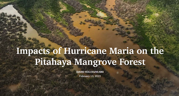
On September 20th, 2017, Hurricane Maria made landfall as a category 4 hurricane on Puerto Rico. Over 2,970 lost their lives to the event and over 130,000 people have been displaced. For over a year, the people of Puerto Rico were without electricity, and the event resulted in significant damage to the overall ecosystem. ArcGIS Story Map was used describe the events of hurricane, and educate others on the ecological and cultural impact the event had to the Island.
Impacts of Hurricane Maria on the Pitahaya Mangrove Forest (Story Map)
Link to ArcGIS Story Map: https://arcg.is/09D5900


bottom of page